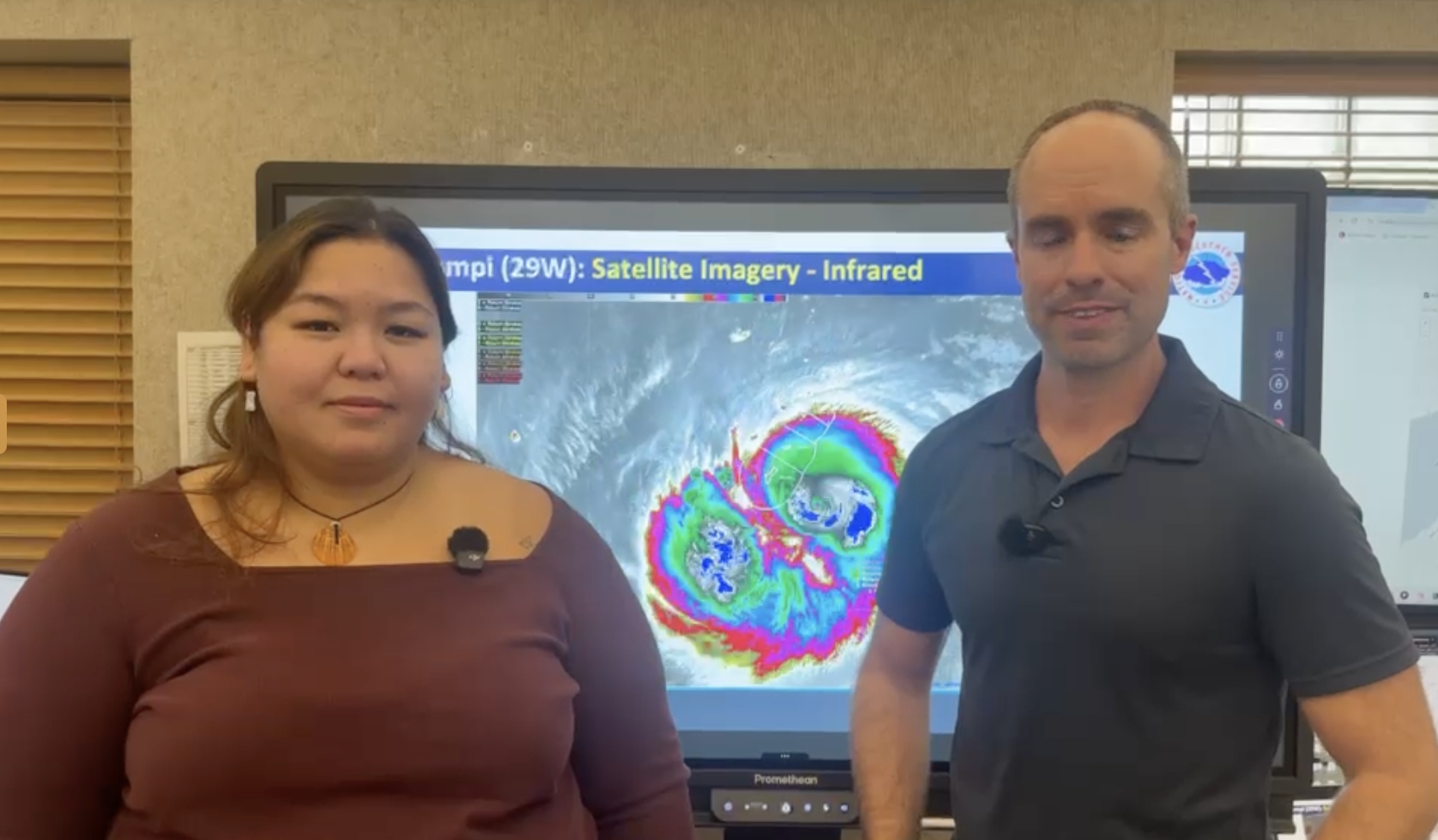
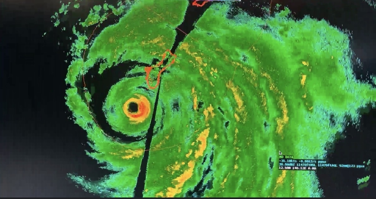
Champi exits Marianas
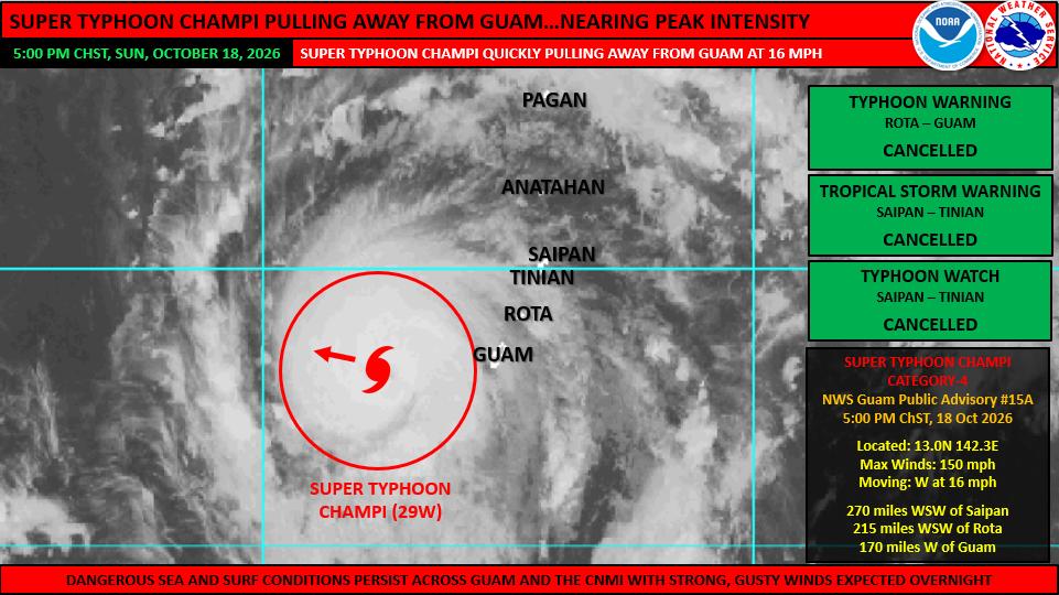
At 4:00 pm ChST, Super Typhoon Champi was located 170 miles west of Guam near 13.0N 142.3E. This was 215 miles west-southwest of Rota and 270 miles west-southwest of Saipan. Champi was still moving quickly west (270 degrees) at 16 mph. Maximum sustained winds were up to 150 mph. Champi is forecast to strengthen further and could become a category-5 typhoon early Monday morning with a peak intensity of 160 mph. Typhoon force winds extend up to 60
miles from the center and tropical storm force winds extend up to 160 miles from the center. As of 5:00 pm, the Typhoon Warning for Guam and Rota was canceled as sustained, tropical storm force winds are no longer expected at these locations. The Tropical Storm Warning and Typhoon Watch for Saipan and Tinian were canceled earlier this afternoon. As currently forecast, Champi will continue west-northwestward through the Philippine Sea as a powerful typhoon, with a track bringing it close to the far northern Philippines or Taiwan late this coming week.
Although the Typhoon Warning for Guam and Rota has been canceled, strong, gusty winds will persist into the evening and overnight hours. A Wind Advisory in effect for Tinian and Saipan has been expanded to include Rota and Guam, following the cancellation of the Typhoon Warning. Wind gusts could still reach up to 45 mph overnight, particularly near passing showers. Additionally, sea and surf conditions remain dangerous across the Marianas as large swell from Super Typhoon Champi pass through the Marianas. A Coastal Flood Warning and a High Surf Warning remain in effect for Guam and Rota due to the life-threatening rip currents and large, breaking surf. Seas and surf remain hazardous across Saipan and Tinian, with the Small Craft Advisory being expanded to include Rota and Guam. The Flood Watch has been extended for Guam and Rota through early Monday morning due to the presence of peripheral rainbands well east of Champi, that could still generate locally heavy showers. (PR)
Share this article: